
Helicopter firefighting
Conducted in coordination with other aerial and ground assets, firefighting is one of the most important helicopter missions and a powerful example of the essential services helicopters provide to society and the environment.
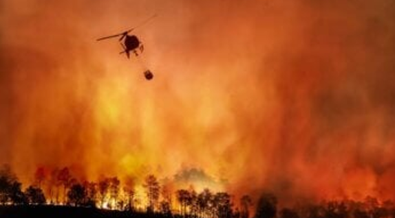
Helicopter water bombing operations, July 2026
Helicopter firefighting helps protect people, property, wildlife and natural habitats, while supporting efforts to contain wildfires and the associated emissions, another significant source of greenhouse gases that contribute to climate change.
NASA FIRMS
Free web platform providing near real-time global fire data
NASA FIRMS (Fire Information for Resource Management System) is a free web platform providing near real-time global fire and thermal anomaly data from satellite observations. Refer to the NASA | LANCE | FIRMS home page.
NASA FIRMS is part of the Land, Atmosphere Near real-time Capability for Earth Observations (LANCE) and offers near real-time active fire data collected from the MODIS sensors aboard the Terra and Aqua satellites and the VIIRS sensors aboard Suomi-NPP, NOAA-20, and NOAA-21 satellites The system was originally developed by the University of Maryland and transitioned to NASA LANCE in 2012.
Interactive global map of active wildfires
The NASA | LANCE | FIRMS global fire map provides an interactive global view of active wildfires, offering a fascinating real-time perspective on fire activity around the world. However, as the map is continuously updated, individual snapshots do not reflect seasonal variations or longer-term trends.
The screenshot below was taken on 28 August 2026:
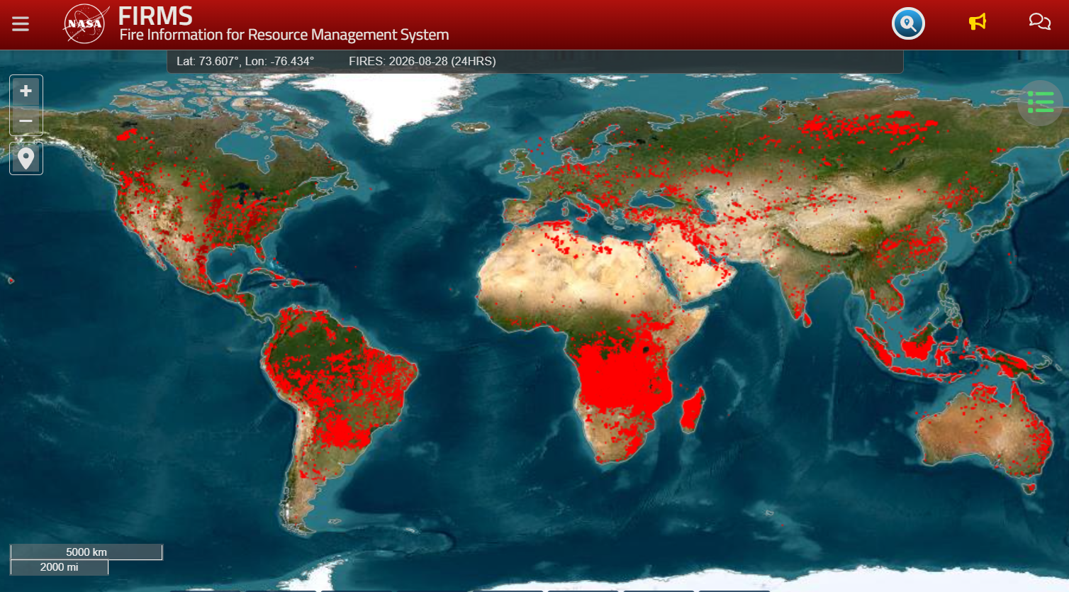
NASA FIRMS global map of active wildfires, 28 August 2026
One striking observation is that Central Africa appears to be the most affected region globally. Despite the scale of the activity, it usually receives relatively limited media coverage, at least in Europe.
It is also noteworthy that, although they do not receive the same level of international attention as those in California, wildfires affect large parts of the central and eastern United States as well.
South America is also heavily affected, as is Eastern Australia and Southeast Asia, particularly Indonesia and neighbouring regions, which show extensive fire activity.
Wildfires and firefighting: truly global challenges
This map serves as a reminder that wildfires are a truly global challenge and that aerial firefighting capabilities remain a vital resource for protecting lives, ecosystems and communities.
References
NASA | LANCE | FIRMS Home Page
NASA | LANCE | FIRMS Global Fire Map
Please log in or sign up to comment.